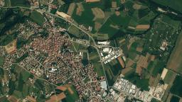
Control surveys (large or small areas) • Boundary & Topographical Surveys • Monitoring Tectonic Movements
Detail
Satellite positioning systems have dramatically changed the methods by which the land surveyor carries out field operations and GPS based equipment is rapidly becoming the world’s widely used ...
Detail
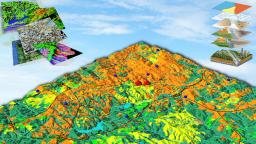
GIS, in particular, makes digital maps intelligent and allows spatial analysis on them
Detail
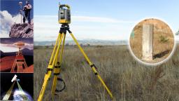
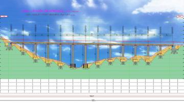
Establishment / Densification of Geodetic Triangulation Points • Measurements with GPS and Total Station and Network Adjustment
Detail
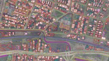
Highway-Motorway, Corridor Mapping, Project Design and Expropriation – Cadastral • Electrical Overhead Line Route Definition, Staking out and Expropriation
Detail